A journey in geospatial timeseries

summary
Practical recipe for ingesting live AIS from the Norwegian Coastal Administration into a single PostgreSQL stack: start with PostgreSQL jsonb to accept unknown AIS messages (27 types) without upfront schema, add PostGIS geography SRID 4326 to index points and compute true distances on the ellipsoid, and use TimescaleDB hypertables and continuous aggregates chunked by one day with seven‑day retention so inserts stay fast and hour/day/week trails are pre‑aggregated.
AI-written summary · about
chapters (10)
- 0:00Geospatial time series intro
- 1:31AIS data and architecture
- 2:57Storing AIS data with JSONB
- 5:06Geospatial projection challenges
- 5:48PostGIS for geographical types
- 7:12Inserting and querying geospatial data
- 8:15Handling large positional volumes
- 8:35Optimizing storage with TimescaleDB
- 10:19Aggregating time series data
- 11:04Summary and conclusion
related talks
 18mA journey in geospatial timeseries
 02h 44mBuilding Geographical APIs with Open Data, PostgreSQL & PostGIS
 34mAnalytics and AI with PostgreSQL - Mission Possible!
 30mBuilding geospatial apps on Postgres, PostGIS, & Citus at large scale
 53mEfficient Time Series with PostgreSQL
 21mActual trees, not b-trees: or how I found PostgreSQL through PostGIS
 45mBreakout Session
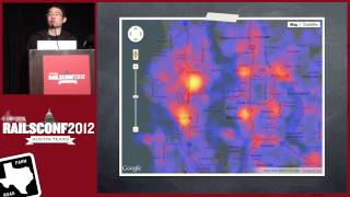 46mGetting Down To Earth: Geospatial Analysis With Rails