Breakout Session

summary
PostGIS surprises are concrete: mismatched SRIDs (e.g. data labelled 4326 but actually 3005) require ST_SetSRID or ST_Transform to fix coordinates, Mercator lies about distances so cast to geography for great‑circle distances, spatial indexes must be created explicitly (CREATE INDEX ... USING GIST) or they become useless, reverse geocoding targets like 1,000 points per second demand in‑memory preindexed polygons, and using prepared geometry caches speeds up overlays ~20x versus naively calling costly constructive functions.
AI-written summary · about
chapters (13)
- 0:00Intro
- 0:43Happy GIS day! What do you call the day after GIS day?
- 5:15Screwing Up Projections
- 8:02Lack of Projections
- 15:04Geodetic Reasoning
- 22:16Mysterious Operators
- 25:08CREATE OPERATOR CLASS btree_geometry_ops DEFAULT FOR TYPE geometry USING btree AS
- 28:28Mysterious Emptiness
- 28:55POLYGON EMPTY
- 31:02More Unpredictable Performance
- 34:281 Problem Many Solutions
- 37:03Raster Disaster
- 41:34Even More Hidden Features
related talks
 14m10 Things I've Learnt About PostGIS
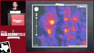 46mGetting Down To Earth: Geospatial Analysis With Rails
 21mThe Open Source Geospatial Community, PostGIS, & Postgres
 47mPostGIS and pgRouting: Extensions for spatial data in PostgreSQL
 19mThe Power of GeoDjango
 44mHow to use Geospatial Data in SQL Server
 53mThis Is PostGIS
 02h 44mBuilding Geographical APIs with Open Data, PostgreSQL & PostGIS