Interview with Ilija Duni
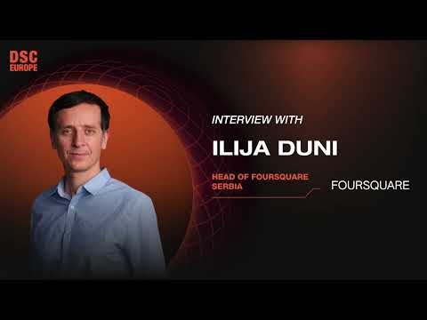
summary
Describes using Foursquare’s places and movements datasets in a FEMA collaboration to detect safe zones after disasters by spotting where people gather or stop checking in, claiming a global map of 200 million places and daily location interactions. Presents the concrete workflow—use location visit signals to flag flooded or occupied buildings—and a goal to build a regional geospatial community in Serbia and Southeast Europe for joint product and humanitarian work.
AI-written summary · about
chapters (4)
- 0:00Start
- 0:07How can AI be used as leverage in foreign affairs and diplomacy?
- 1:42What would you say is your personal mission when it comes to using AI and diplomacy?
- 2:04Could you describe in one word your expectations for the panel and the people going to meet?