Python Applications in Infrastructure Planning and Civil Engineering
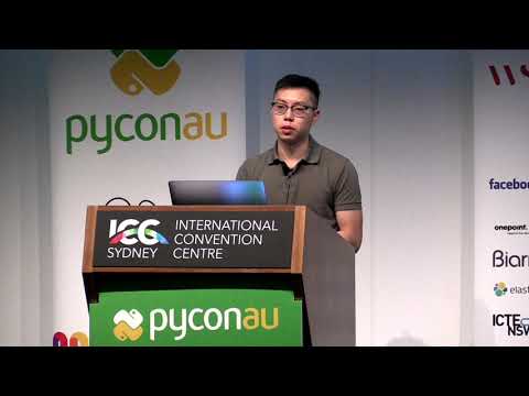
summary
A bot and pipeline turn alignment shapefiles and national address data into automated risk reports, producing HTML, CSV and shapefiles and stored in PostGIS for queries and subscription alerts. Processing uses a Jupyter notebook + papermill template, a Python markdown preprocessor for readable output, and web scrapers for council DA pages. A text pipeline plus an XGBoost classifier achieves about 95% recall with ~85% accuracy and AUC ≈ 0.95, cutting manual review and catching missed high‑risk DAs.
AI-written summary · about
chapters (15)
- 0:00Intro
- 0:30About me
- 1:02VSP
- 1:22Transport
- 1:51Railway Planning
- 2:44Feasibility Assessment
- 3:24Environmental Impact Assessment
- 4:45Alignment Assessment
- 5:42Challenges
- 7:54Geometry
- 9:58Outputs
- 10:55Development Applications
- 14:01DEA Bot
- 18:11Benefits
- 20:28Alerts
related talks
 28mAutomate Your City Data With Python
 18mAutomate Your City Data with Python
 29mGeospatial Analysis using Python
 35mVisualizing research data: Challenges of combining different datasources
 37mSpatial Data Analysis With Python
 43mPython at City Scale
 01mA Practical Introduction to Geospatial Python
 31mUnpacking the geospatial engineering toolbox – an overview of data science techniques for spatial da