"Look! A Map"
summary
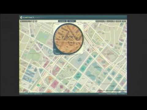
As maps shift from static pictures to interactive experiences, a working mapping platform called maps.carta.com lens tool demonstrates zoomable type, multiple tile sets, and a clickable “lens” that layers a digitized 1887 LA map, David Rumsey watercourses, and a new building‑level New York map in version 1.1; it also integrates 3D oblique buildings rendered by Union Design and feels deliberately exploratory and addictive. Historical examples argue for richer context and accuracy — an Inuit hunter’s hand map records 83 islands vs 38 on contemporary charts.
AI-written summary · about


