"Realizing Spatial Intelligence on

summary
ESRI demonstrates that GIS moves from desktop to the web by publishing ArcGIS Server REST services that return JSON and KML, powering mashups and mobile clients. A Gates Foundation market-access model runs as a remote geospatial analytic service producing accessibility polygons. City of Boston exposes a rooftop solar potential service and the StateStat site combines spending layers with hotspot analysis for accountability. Claim: tens of thousands of servers host data, models, cartography and workflows as interoperable web services ready for reuse.
AI-written summary · about
chapters (6)
- 0:00Start
- 0:48Realizing Spatial Intelligence on the Geo Web
- 2:48Cartographic Knowledge
- 4:14Spatially Integrated Thinking
- 5:34Web Gis
- 9:26The Services Directory for Arcgis Server
related talks
 22mSpatial Analysis and the Geoweb
 12mOpen Data and the Future of ...
 12mGeoEnabling Gov 2.0
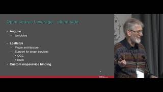 21mjsMapservice: leveraging the open source stack for rapid publishing of spatial data
 32m"A Developer's Guide to Open Source Web Mapping Libraries"
 46mDiscovering 40 Geo-APIs in 40 Minutes
 41mA Developer's Guide to Open Source Web Mapping Libraries
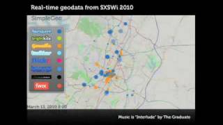 05mGetting to Know SimpleGeo