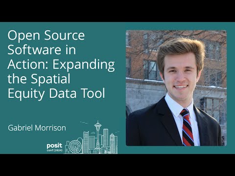
Open Source Software in Action: Expanding the Spatial Equity Data Tool
summary
Spatial Equity Data Tool accepts point CSVs, returns demographic disparity and geographic disparity scores computed by Python running on AWS Lambda (typical run <10 seconds), with a March 2024 API and three wrapped R functions so analysts get one-call results. Documentation lives in a Quarto book; workflow uses Step Functions for branching logic. City of Los Angeles builds a custom RShiny budget-equity app and a contributed pull request adds ArcGIS feature-layer support.
AI-written summary · about
chapters (11)
- 0:00Spatial equity and trauma centers
- 2:30Spatial Equity Data Tool purpose
- 5:21Demographic and geographic disparity scores
- 7:52Tool use cases and interaction
- 8:54Choosing tools for technical challenges
- 9:37AWS Lambda for scalability
- 11:28AWS Step Functions orchestration
- 12:50API documentation with Quarto
- 15:03R package for power users
- 16:31Key takeaways and gains
- 17:35Q&A on geographic boundaries
related talks
 42mOpen Data & Maps As Tools for More Impact
 35mVisualizing research data: Challenges of combining different datasources
 26mWho Said Wrangling Geospatial Data at Scale was Easy?
 37mSpatial Data Analysis With Python
 17mSpatial Equity NYC
 10mCivic Hacking & Urban Informatics: Mapping Data with GeoPandas
 22mTake your Business to a New Geography
 01h 01mVisualizing and Analyzing Data in 3D