Open Source framework for geospatial data discovery

summary
An open-source geospatial discovery stack built on GeoBlacklight (Ruby on Rails + Solr) runs in Docker on AWS and harvests metadata from ~460 libraries to index 1.6 million map sheets. It exposes map-centric search via Leaflet, supports OGC web services and IIIF manifests, offers downloads (GeoTIFF, JPEG, COG-ready), and curates edition/series metadata. Current limitations: UTF‑8 faceting and in-browser COG viewing (Leaflet integration) need fixes, but automated harvesting and faceted map discovery are operational.
AI-written summary · about
chapters (8)
- 0:00Introduction and motivation
- 2:06Problems with geospatial data discovery
- 4:35Introducing GeoBlacklight solution
- 7:06Metadata standards and schema
- 11:02Live demonstration of GeoBlacklight
- 16:42Admin portal and automation
- 17:26Harvesting and indexing global maps
- 19:33Future improvements and Q&A
related talks
 19mWhen data can't be open
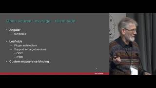 21mjsMapservice: leveraging the open source stack for rapid publishing of spatial data
 01h 41mOpenStreetWhat? Mapping The World With Open Data
 32m"A Developer's Guide to Open Source Web Mapping Libraries"
 20mBootleaf, an open-source web-map framework
 41mA Developer's Guide to Open Source Web Mapping Libraries
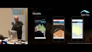 19mTerriaJS: An open-source framework for 3D geospatial data...
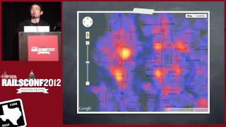 46mGetting Down To Earth: Geospatial Analysis With Rails