Beautiful, Interactive, and Portable Maps using Folium and Live API Data
summary
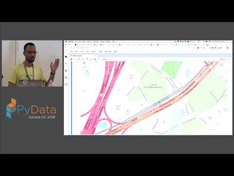
Shows how to combine Folium + Leaflet.js with live APIs (Census, WMATA, Walkscore) plus Flask and simple caching so Python produces HTML/JS maps that render in a notebook or serve on Heroku. Demonstrates a working bus tracker fed by WMATA, choropleth maps from census GeoJSON, and Walkscore-colored routes that reveal route-by-route walkability. All examples run end-to-end; deployment works but Heroku filesystem and API rate limits make caching and persistence a known constraint.
AI-written summary · about
chapters (12)
- 0:00DIY mapping with Python
- 3:43Maps as data visualization
- 5:33Folium and Leaflet
- 7:03Basic bus tracking map
- 13:50Save and share maps
- 14:10Fetch live API data
- 15:34Cache API calls
- 18:29Census data visualization
- 25:18Walk Score boundaries
- 28:51Bus routes by walkability
- 31:18Deploy maps on Heroku
- 33:31Q&A
related talks
 30mMaps, Maps, Maps!
 01h 34mBuild a Web Map with Open Source Tools
 32mHypermedia driven maps
 32m"A Developer's Guide to Open Source Web Mapping Libraries"
 43mBuild a Web Map with Open Source Tools
 36mBokeh Maps - Interactive Map for Your Next Web Application
 18mBuilding Maps with Impact on React and the JAMstack
 07mSteven Citron Pousty (Red Hat Openshift) interviewed at Fluent 2014