python at scale – creating a High Definition Map of the world's road network
summary
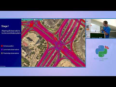
Describes how Mobileye’s REM group uses PySpark and Python to turn crowd‑sourced, anonymized computer-vision data from millions of consumer vehicles into a world‑scale high‑definition road map with centimeter accuracy. Covers engineering solutions for running cutting‑edge algorithms efficiently on big data, scaling map construction to global size, and supporting a rapid development process for 100+ developers to run, debug and evolve production workloads.
AI-written summary · about
related talks
 50mBig Data Processing and Data Science Environment in Python
 28mLocation Based Data Engineering for Good with PySpark:Graphs
 41mUsing Python to Build a GIS Data Pipeline for Rural-Urban Classification
 41mHow to GIS with Python
 43mPython at City Scale
 48mThe Use of Python in the Data World
 37mSpatial Data Analysis With Python
 39mHow Python Drives Modern Data Engineering