Exploring and Analyzing Open Satellite Imagery data
summary
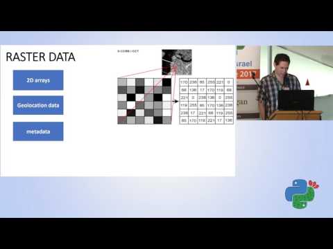
Demonstrates how to work with openly available satellite imagery using Python tools to explore and analyze the data. Covers accessing open satellite datasets, preprocessing imagery, and applying analysis techniques (e.g., image processing and geospatial methods) to extract useful information.
AI-written summary · about
chapters (4)
related talks
 27mThe View from Above Getting Started with Satellite Images
 50mGeospatial Analysis
 25mEmpowering weather-satellite data users with FOSS: the Pytroll case
 17mFree satellite imagery and DEM analyses enabling NRM in the developing world
 46mDeep Learning for Satellite Image Processing, Lessons Learned
 30mUnlocking Geospatial Data Science: A Strategic Overview
 18mDeep learning for Space imagery applications
 11mTerraKit: Standardising AI-Ready Geospatial Data...